OSU UAS Demonstration
GVF Living Laboratory
March 2018
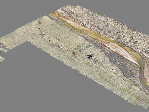
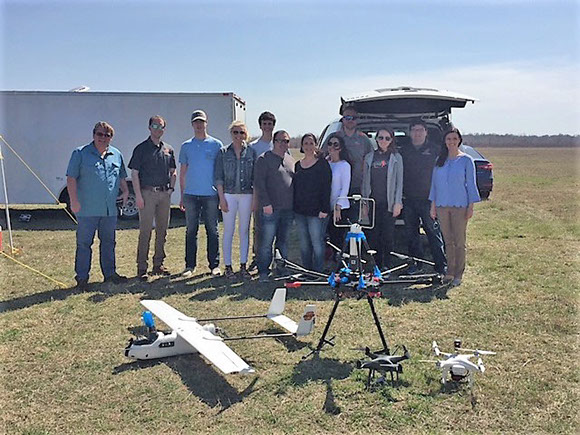
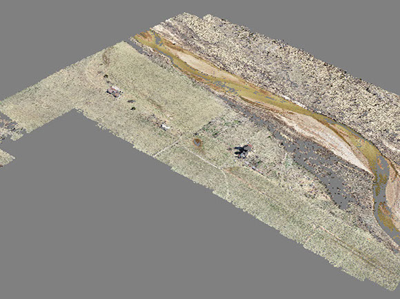
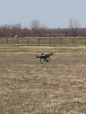
Mounted with different sensors, unmanned aircraft provide an efficient and cost-effective flight platform for geospatial data acquisition for environmental assessment. Its flexibility allows us to capture geospatial information with sufficient spatial and temporal resolutions at a low cost. In terms of accuracy, cost-effectiveness, and productivity in geospatial data acquisition, the UAS-based solutions fill the large gap between the solutions based on manned aircraft and ground-based solutions. UAS-based solutions have a high potential for acquiring geospatial data for precision forage data. The data acquired during the GVF Living Laboratory (GVF LL) demonstration provides an example of the usefulness of GVF LL's mission.
A primary need is developing a turnkey UAS-based solution for multispectral remote sensing data acquisition, processing and product delivery. The heart of such a UAS-based sensing platform includes; 1) a set of sensors mounted on the flight platform; 2) various software packages for processing the raw sensor data; and 3) a set of visualization tools for optimally presenting the collected data and for assisting in understanding complex relationships. The implementation of a UAS-based sensing platform requires a multi-disciplinary approach that needs expertise in geospatial information science and computer science. Integrating the multispectral camera to the platform is an essential part of the sensing platform.
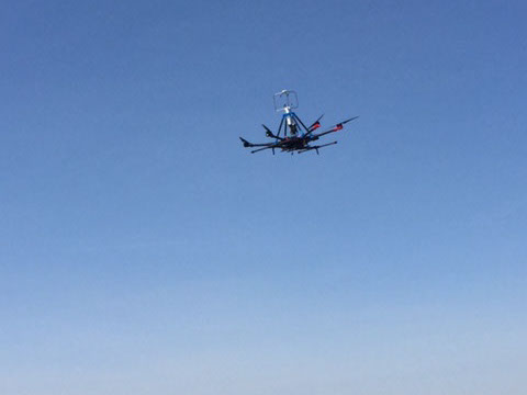
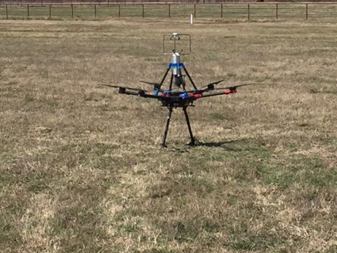
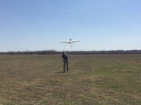
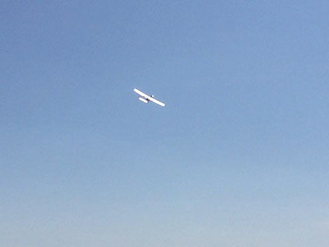
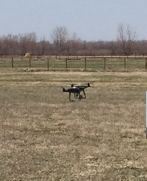
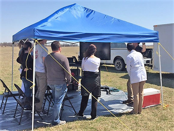
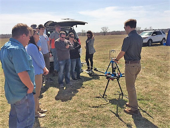
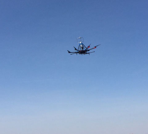
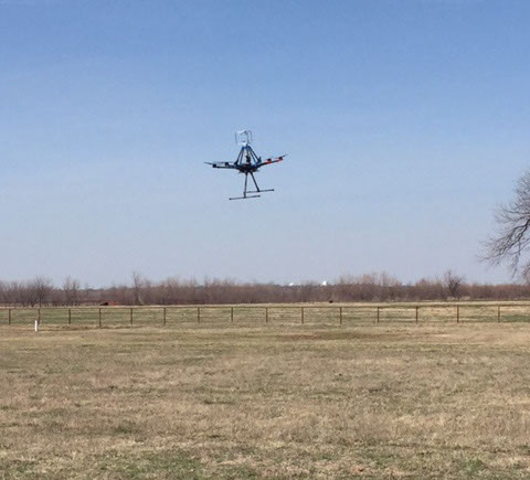
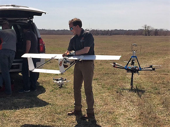
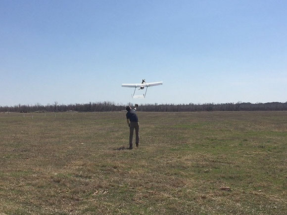
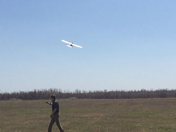
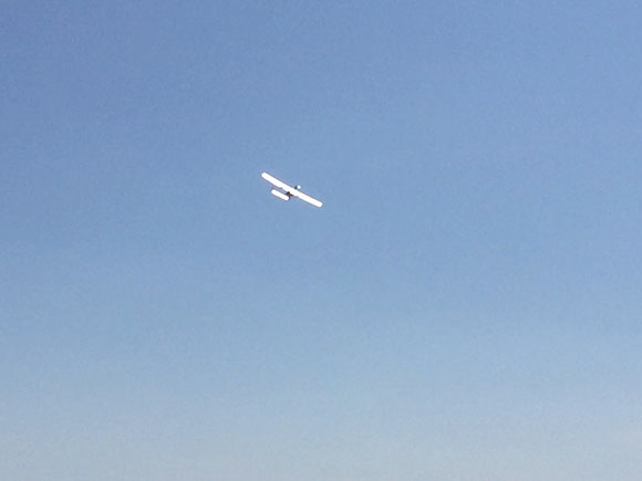
The OSU demonstration team included Taylor Mitchell and Fred Keating, USRI research engineers, as well as graduate students Victoria Natalie and Seabrook Whyte. Taylor has expertise in environmental monitoring while Victoria is an expert in photogrammetry and geospatial data analysis. Platforms included a Skyhunter fixed wing UAS with a custom payload and sensor suite, a weather sensing UAS for boundary layer measurements, and standard COTS platforms for imaging.
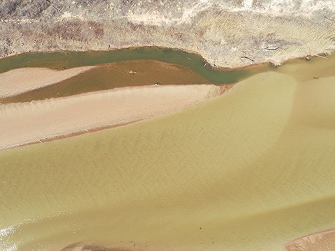
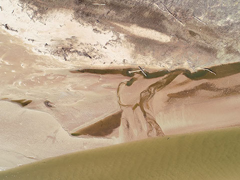
UAS Imagery and Demonstration Pictures
March 2018


<
8 - 15
>

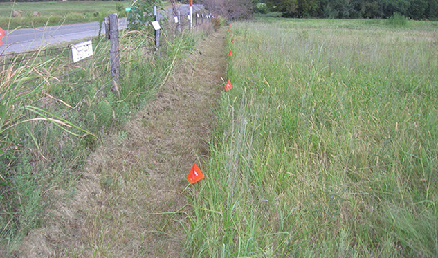
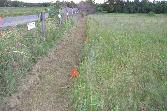
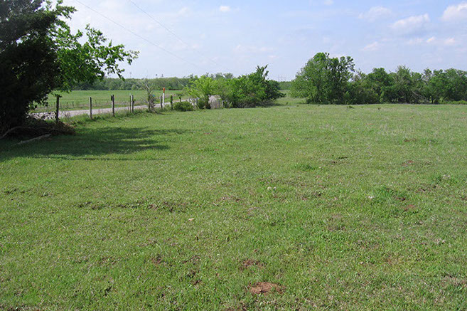
Bermuda grass forage production
Best Practices
2016 Project
Alternative herbicides
and/or non-traditional applications
2017 Project
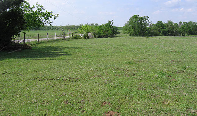
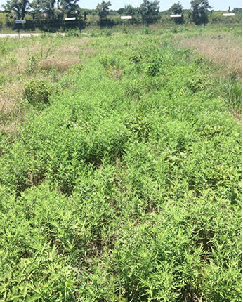
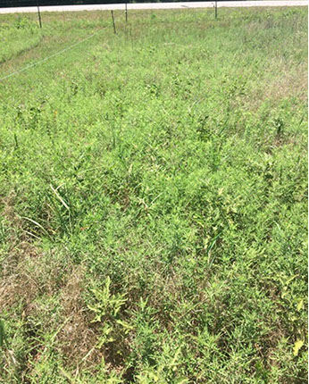
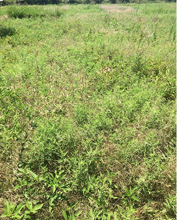
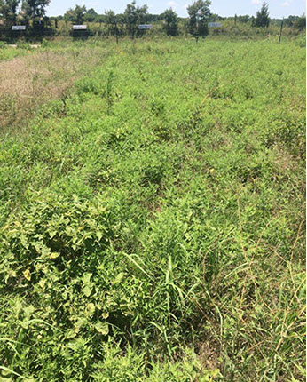
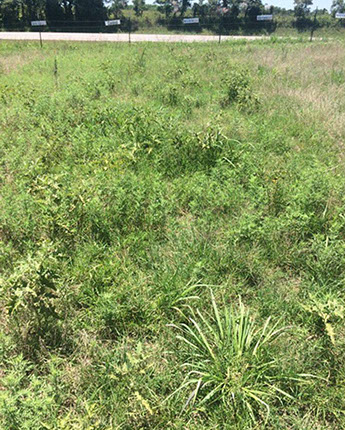
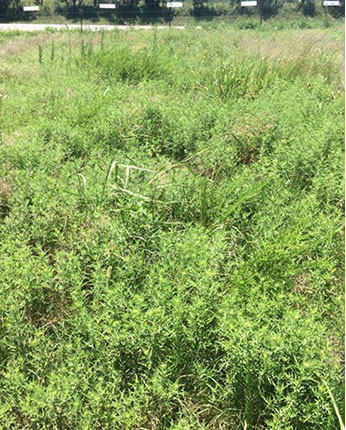
The demonstration project was to explore the best management practices for Bermuda grass forage production. A one acre tract, divided into plots for research control, weed treatments, and fertilization treatments, for observation and data gathering was cultivated. The project resulted in tours with local producers for discussion of outcomes and publication of data and observations for use in educational efforts.
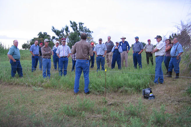
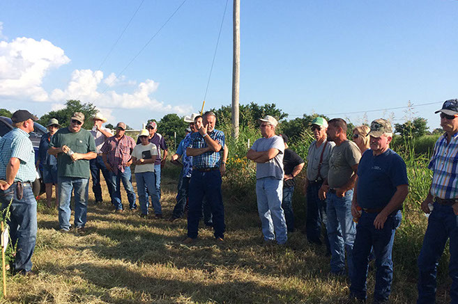
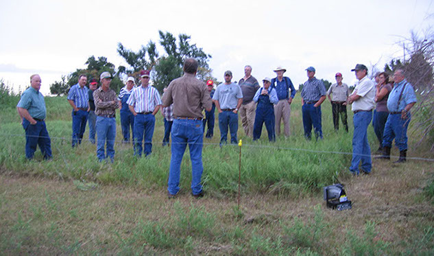
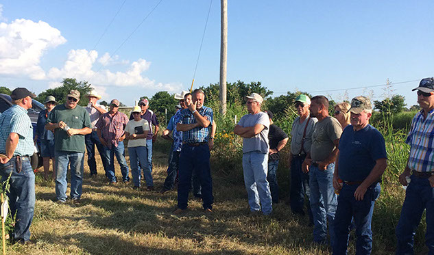
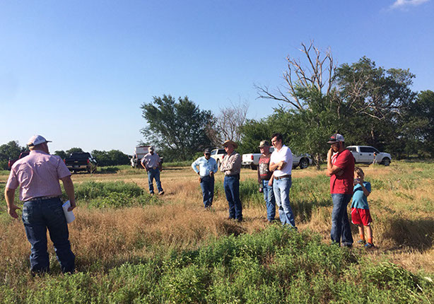
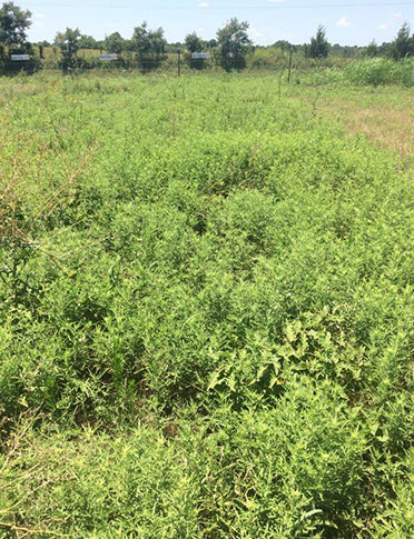
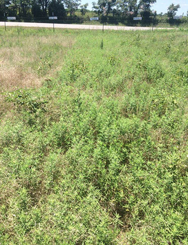
The 2017 Demonstration Project looked at alternative herbicides or herbicides applied in non-traditional method or time of year. A tour of the Project for area producers took place on June 29, 2017.
The conclusion of the demo was:
Impregnating chemical on dry fertilizer pellets was not as effective as applied in a liquid spray.
The pre-emergence treatments were not very effective and costly. With the exception of Grazon Next applied in the spring, it is believed that this treatment has merit for some producer situations.
"Fertilizing without controlling weeds first grows very big weeds!"
J. Wes Lee
OSU Extension Educator
McClain County, Oklahoma
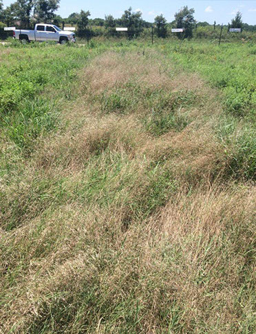
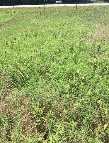

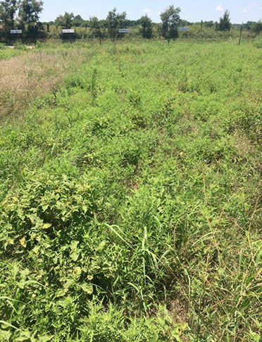
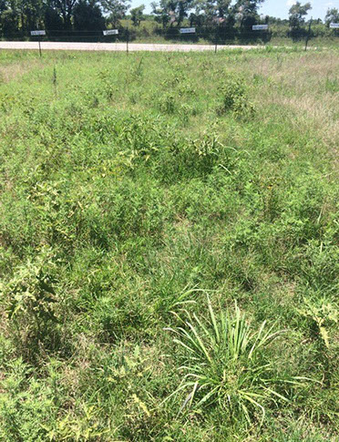
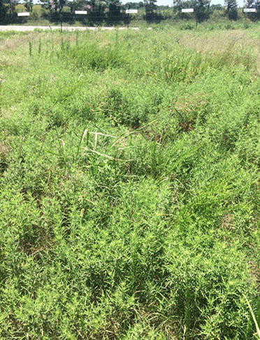
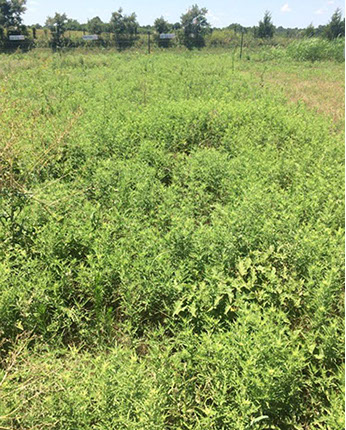
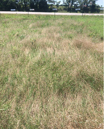
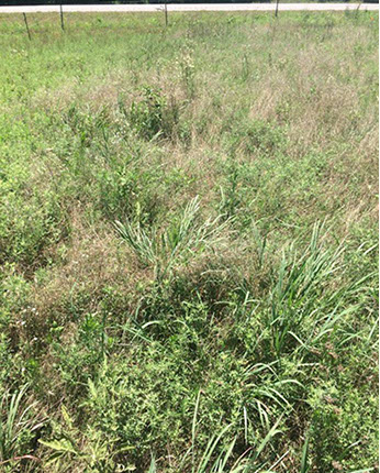
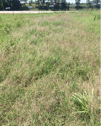
Treatment 2,4-5
05/02/17
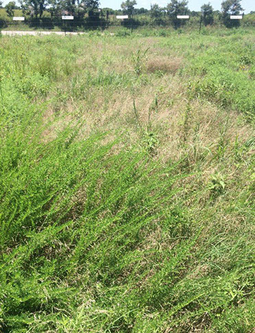
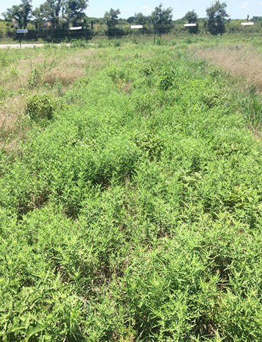
Treatment 34-0-0
05/02/17
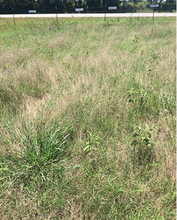
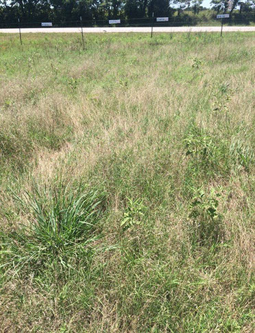
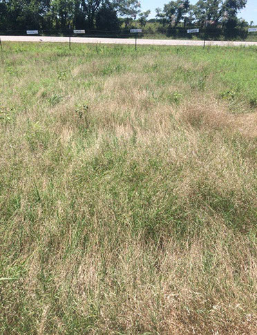
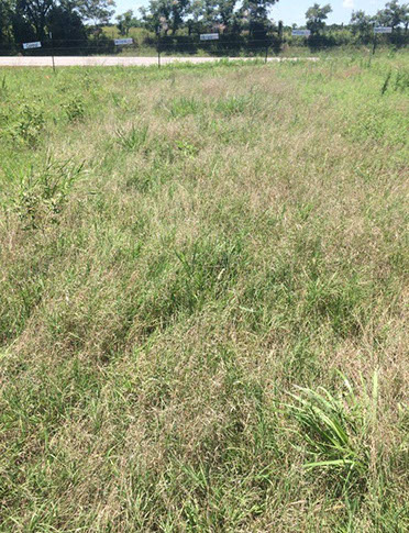
Control Plot
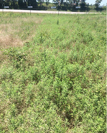
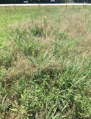
Treatment Grazon Next + 34-0-0
05/02/17
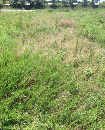
Treatment Grazon Next
03/02/17
Treatment Grazon Next
05/02/17
Treatment Next Imp. on 34-0-0
05/02/17
Treatment Grazon Next in UAN
05/02/17
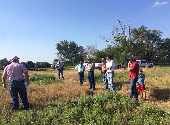
Project Tour
06/29/17
Treatment Pastora
05/02/17
Treatment Prowl+ 2,4-D
03/02/17
Treatment Prowl
03/02/17
Treatment Roundup
05/02/17
Treatment Simizine+2,4-D
03/02/17
Treatment Simizine
03/02/17
<
1 - 15
>
located in Cleveland & McClain Counties, Oklahoma
PARTNERS